Guinea's
Regions
Four geographic zones, each with its own climate, ethnic identity, natural resources, and cultural character.
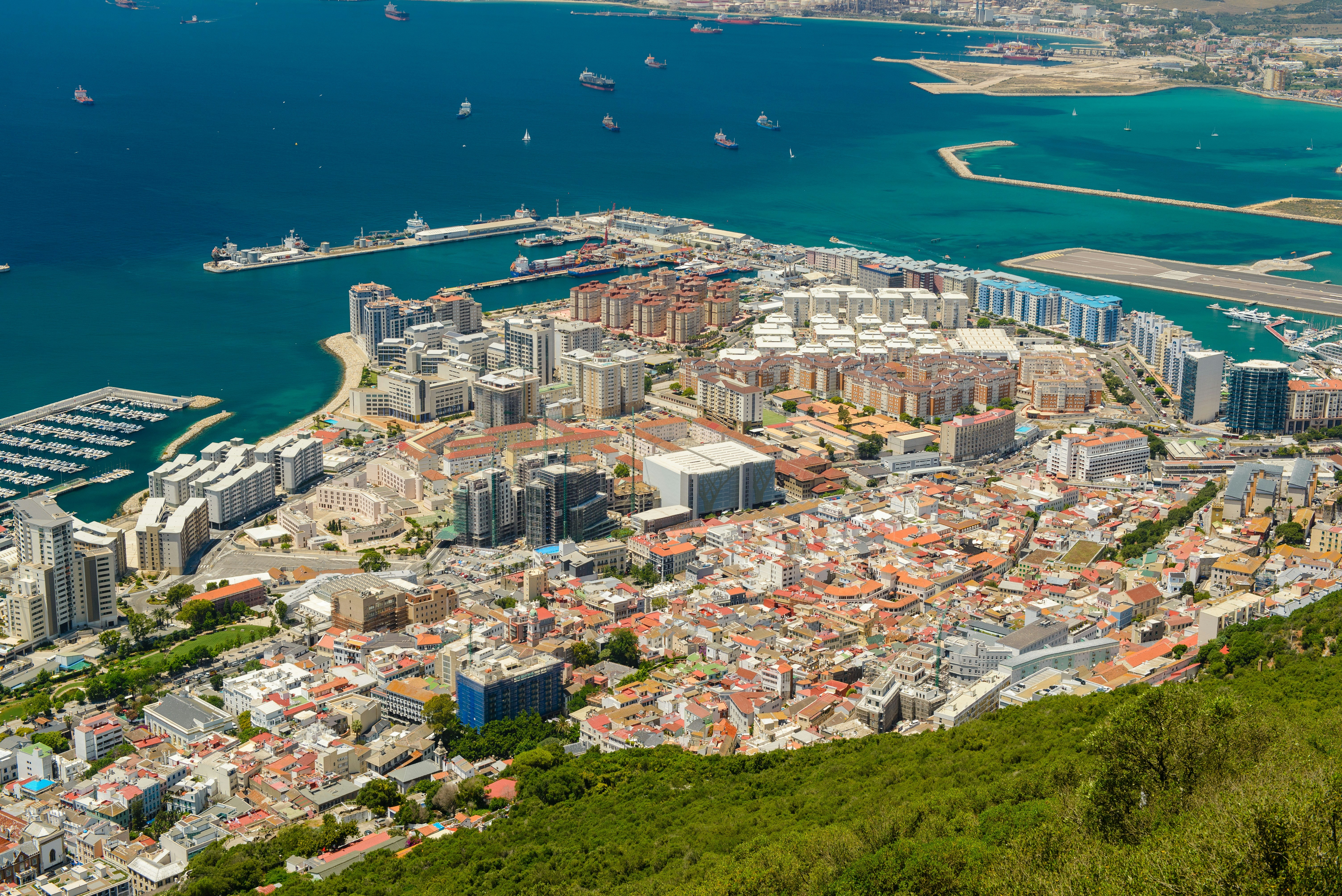
Maritime Guinea
Guinea's coastal gateway — where the Atlantic meets West Africa.
Maritime Guinea stretches along the Atlantic Ocean, encompassing Guinea's capital Conakry and its surrounding coastal lowlands. The landscape transitions from mangrove swamps and tidal flats to sandy beaches and the scenic Îles de Los just offshore. The Susu people have historically dominated this coastal zone, developing trading networks that predated European contact. Conakry today is a city of over two million people — Guinea's political, economic, and cultural hub, with a port that handles the bulk of the nation's bauxite exports.
Key Resources
Highlights
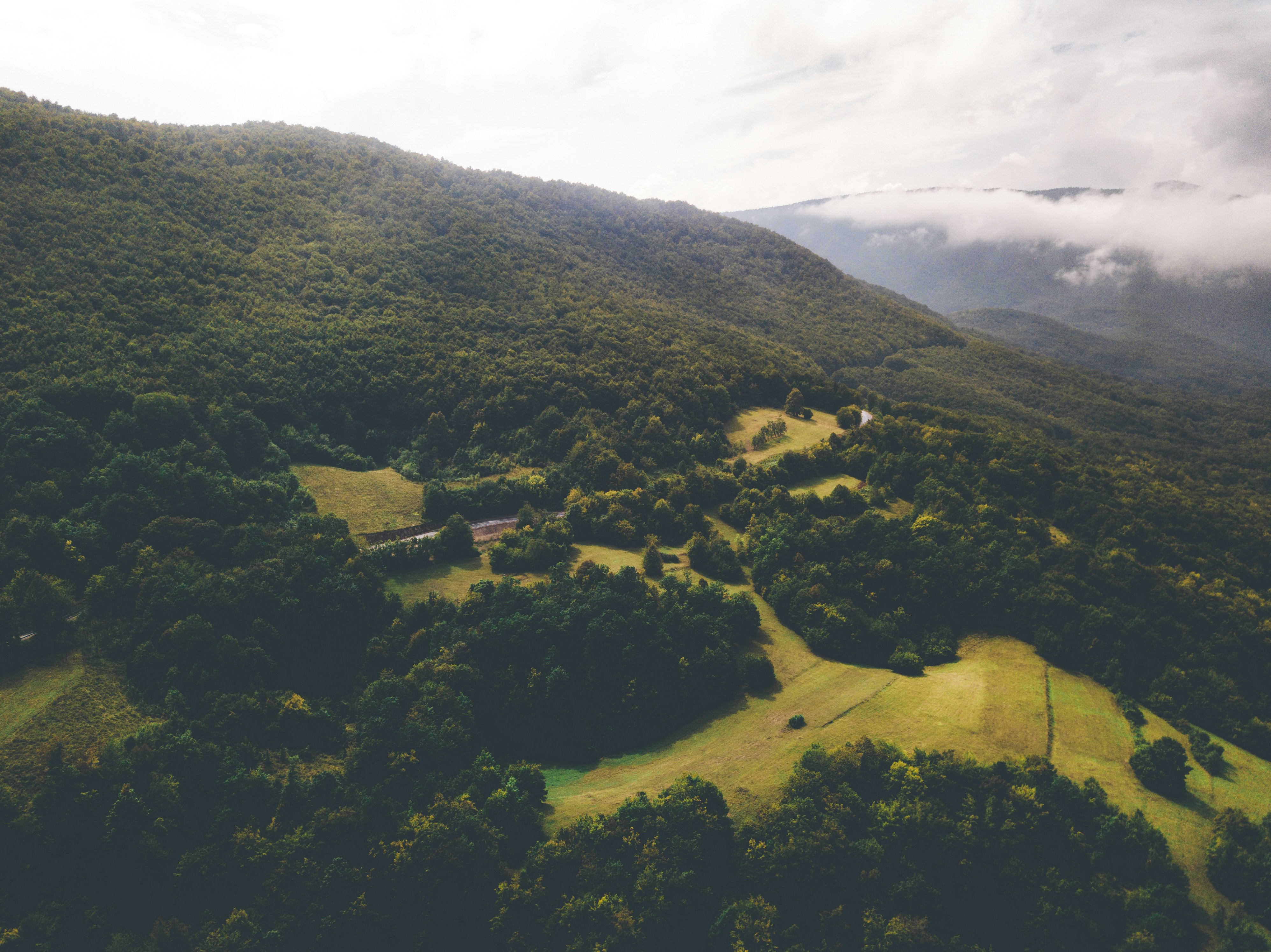
Fouta Djallon
The "Water Tower of West Africa" — source of three great rivers.
The Fouta Djallon is a dramatic highland massif rising to over 1,500 metres, covering much of central Guinea. This plateau is geologically unique — ancient sandstone formations eroded into spectacular valleys, gorges, and waterfalls. Three of West Africa's most important rivers — the Niger, the Senegal, and the Gambia — all originate here, making the Fouta Djallon a hydrological cornerstone for the entire region. The Fula (Pular) people have cultivated this highland for centuries, developing a cattle-herding and agricultural culture adapted to the cooler highland climate.
Key Resources
Highlights
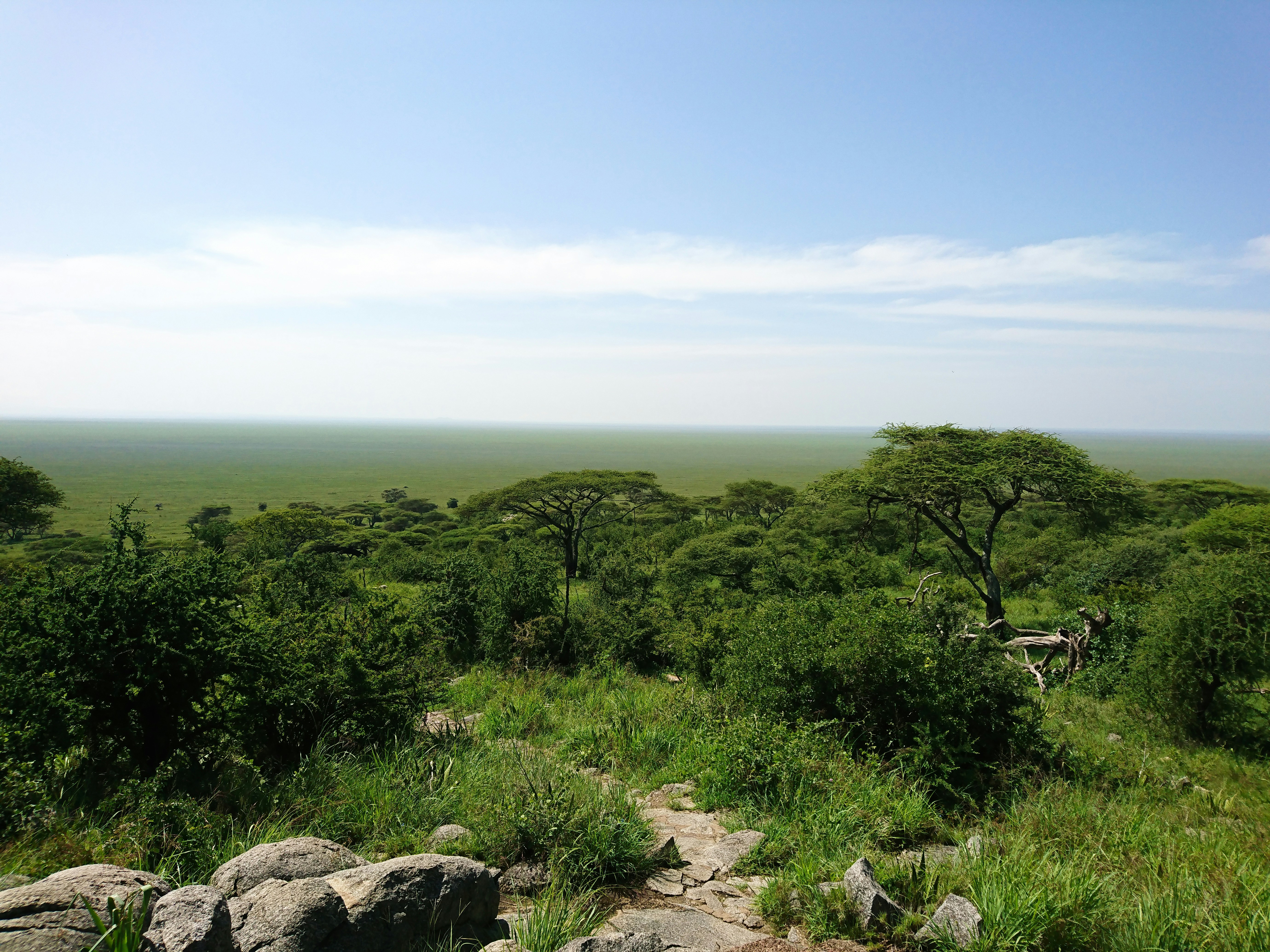
Upper Guinea
Ancient Maninka heartland beneath vast savannah skies.
Upper Guinea is the largest of Guinea's four regions by area, covering the northeastern savannah plateau. This is the heartland of the Maninka (Malinké) people — descendants of the great Mali Empire that once dominated much of West Africa. The city of Kankan is the region's cultural capital and Guinea's second-largest city, a centre of Islamic scholarship and Maninka cultural identity. Beneath the grasslands lie significant deposits of gold and diamonds, making Upper Guinea a crucial zone for Guinea's mineral economy.
Key Resources
Highlights
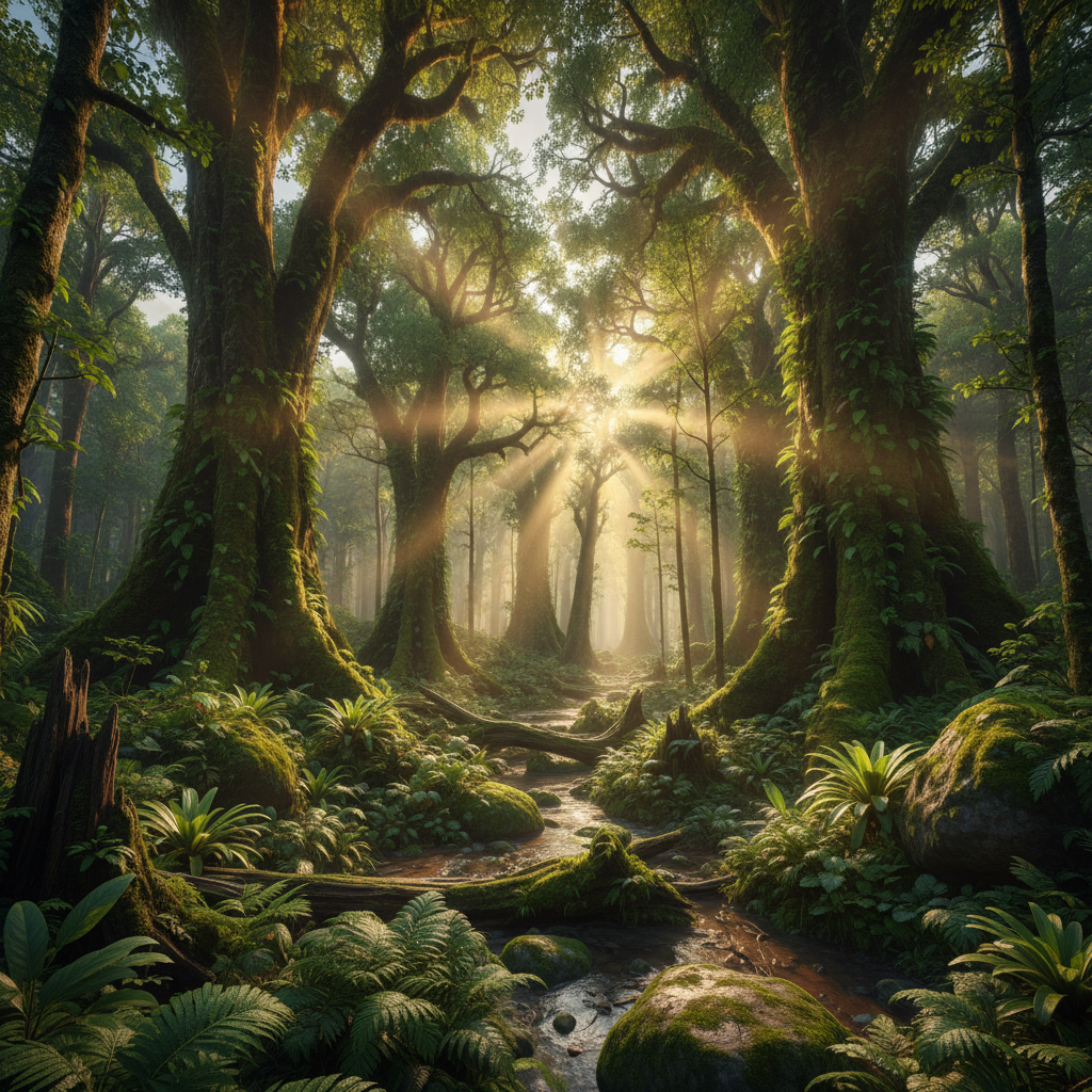
Forest Guinea
Tropical biodiversity and UNESCO heritage in Guinea's forested south.
Forest Guinea occupies the southeastern corner of the country, where Guinea borders Sierra Leone, Liberia, and Côte d'Ivoire. This is the most ethnically diverse region of Guinea, home to dozens of distinct peoples including the Kpelle, Kissi, Toma, and Guerzé. The landscape is dominated by dense tropical rainforest — one of the last significant forest blocks in Upper West Africa. Mount Nimba, straddling the borders of Guinea, Côte d'Ivoire, and Liberia, is a UNESCO World Heritage Site and Strict Nature Reserve, protecting endemic species found nowhere else on Earth.
Key Resources
Highlights
Economy & Demographics
Guinea sits on extraordinary natural wealth while navigating development challenges shared across much of sub-Saharan Africa.
Mineral Resources
Agriculture
Demographics
International
Independence: 2 October 1958
Guinea became the first French African colony to vote for full independence — a landmark moment in African decolonization history, led by Ahmed Sékou Touré who rejected membership in the French Community and forged a new sovereign path.